

October opens harvest window; September record hot
By RHIANNON BRANCH
FarmWeek
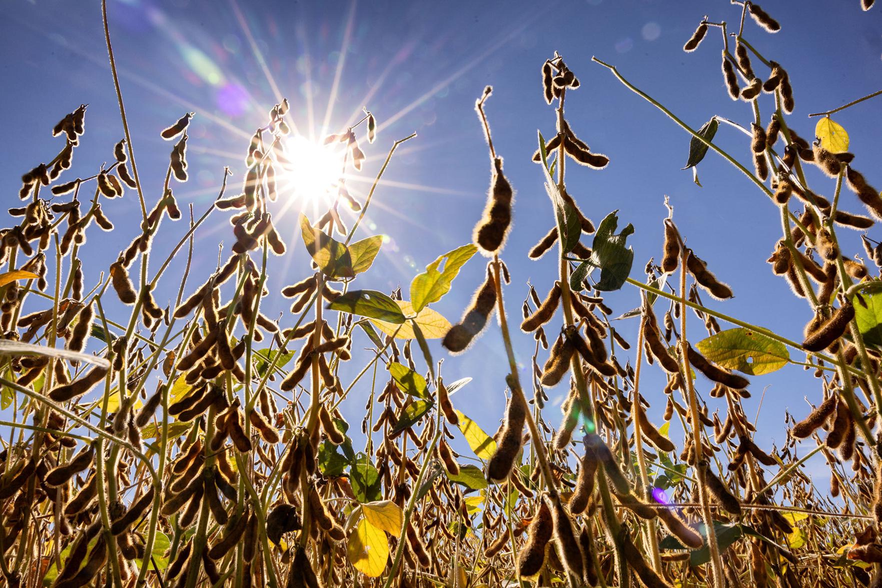 Outlooks for the first half of October show potential for good harvest weather, hopefully allowing southern farmers to near the finish line and northern farmers to get a solid start.
“The first two weeks of October are expected to be a bit warmer and very dry, so as far as harvest weather is concerned, it looks pretty nice,” State Climatologist Trent Ford of the Illinois State Water Survey told FarmWeek.
Abnormally high September heat, which rivaled summer temperatures, quickly dried down crops in southern Illinois sparking an early and fast start to harvest. The preliminary state average temperature for the month was 73.1 degrees.
“If that holds, it would be about 7 degrees above average statewide and the warmest September on record,” Ford said. The current record is tied between 1925 and 1933.
“We also saw around 400 daily weather records get smashed in September between daily highs as well as the high, low daily temperatures,” he said.
**Editor’s Note: If you find the story here of value, consider clicking one of the Google ads embedded in the story. It costs you nothing but Google will give the website owner a few cents. This is a way to help support local news at no cost to the reader.
Southern Illinois was drier than normal last month, with less than half an inch falling in far southwestern counties including Alexander, Union and Pulaski. On the other hand, counties north of Interstate 80 were wetter than normal, which caused some harvest delays. Ford said parts of Ogle, Lee and DeKalb counties collected nearly 15 inches of rain last month.
September also broke the trend for severe weather this year. Following months of record severe systems, September was fairly mild.
“Even when we got a lot of rain across northern Illinois, much of that came without a lot of severe weather,” Ford said. “There’s been some flooding issues, but certainly nothing like tornadoes, hail and derechos.”
Illinois has had 212 tornados so far this year, well above the previous annual record of 142.
“We are currently about 32 tornadoes shy of the all-time record for the whole U.S. and that was 244 tornadoes in Texas in 2015,” Ford said. “I don’t want to get there, so it would be OK if the next few months were a bit quieter like September was.”
The globe is also experiencing the strongest El Nino on record, which is beginning to impact other regions. For example, Ford said there have been very few hurricanes in the Atlantic Ocean, while a record number of hurricanes have hit near Hawaii in the Pacific Ocean.
Ford said Illinois has not seen any strong El Nino effects yet, but that will shift as winter nears.
“When we look at the outlooks for December, January and February, they are quintessential El Nino and that is above average temperatures for the whole northern U.S., including all of Illinois, and sort of a mixed bag of precipitation,” Ford added.
This story was distributed through a cooperative project between Illinois Farm Bureau and the Illinois Press Association. For more food and farming news, visit FarmWeekNow.com.